

SAN ANGELO, TX — The National Weather Service forecasts the heaviest rainfall from a multi-day system to fall over the Concho Valley and Edwards Plateau through Friday evening, with most likely amounts of 1 to 2.5 inches.
A medium to high chance (50% to 90%) exists of at least 1 inch across the area. Rainfall should begin around Thursday noontime, peak early Friday morning, and taper by Friday evening, according to the latest NWS outlook updated early Thursday.
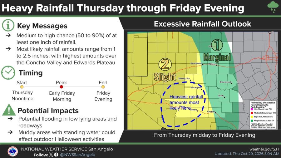
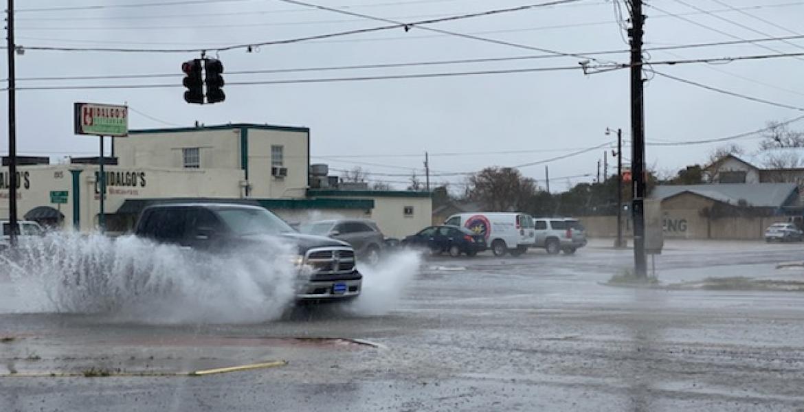
Widespread light to moderate rain with embedded thunderstorms is expected as the system moves northward out of Mexico. Rates will generally remain modest except in thunderstorms, where heavier downpours could produce localized flooding and flash flooding in low-lying areas and on roadways. Muddy conditions and standing water may also affect outdoor Halloween activities.
The highest totals are most likely near Ozona, Sonora and San Angelo, with lower amounts farther east toward Abilene and Brownwood. The Excessive Rainfall Outlook places a Slight risk over much of west-central Texas and a Marginal risk on the eastern fringes.
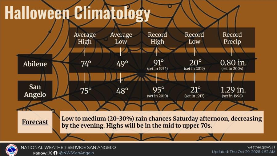
By Saturday, Halloween is expected to turn milder, with highs in the mid- to upper 70s and only a 20% to 30% chance of scattered afternoon showers that diminish by evening.
Daylight saving time ends this weekend; clocks should be turned back one hour from 2 a.m. to 1 a.m. Saturday night.


Subscribe to the LIVE! Daily

Required
Post a comment to this article here: