

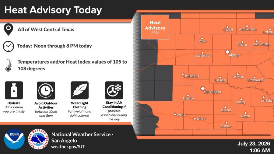
SAN ANGELO, TX — A Heat Advisory is in effect from noon through 8 p.m. Thursday for all of West Central Texas, where temperatures and heat index values are expected to reach 105 to 108 degrees, the National Weather Service said.
The advisory covers the region served by the NWS office in San Angelo. Officials urge residents to hydrate before feeling thirsty, avoid outdoor activities between 10 a.m. and 8 p.m., wear lightweight and light-colored clothing, and stay in air conditioning when possible.
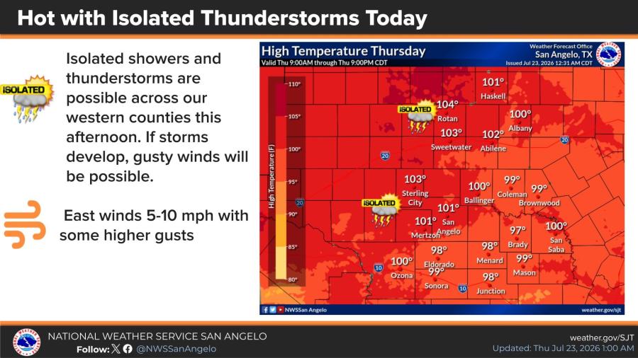
Isolated showers and thunderstorms are possible this afternoon across western counties. Any storms that develop could produce gusty winds. East winds of 5 to 10 mph with some higher gusts are expected. High temperatures Thursday will range from the upper 90s to near 104 degrees.
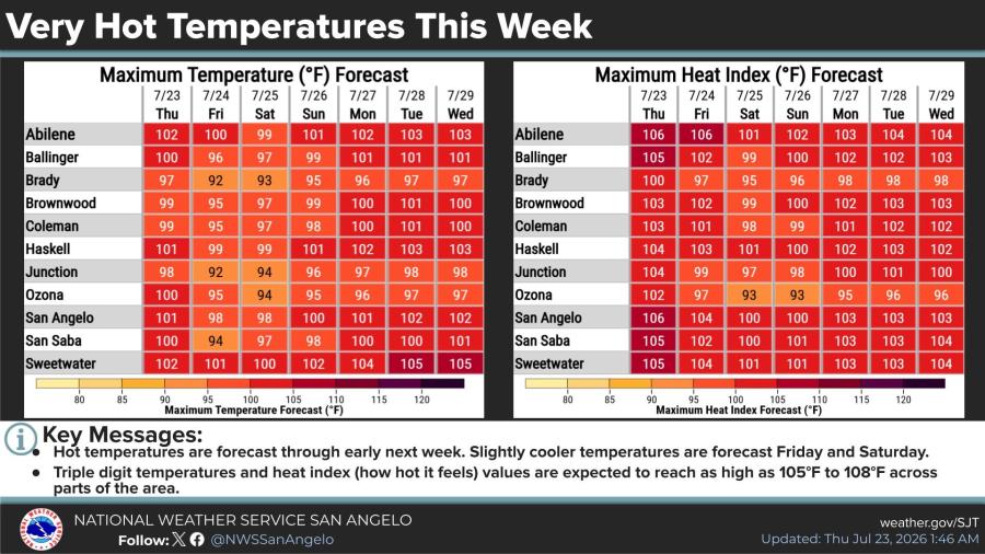
Hot weather is forecast to continue through early next week, with triple-digit temperatures and heat index values as high as 105 to 108 degrees in parts of the area. Slightly cooler temperatures are expected Friday and Saturday.
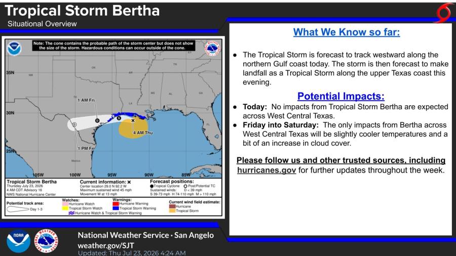
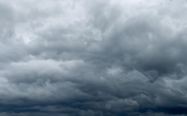
Tropical Storm Bertha is forecast to track westward along the northern Gulf Coast on Thursday and make landfall as a tropical storm along the upper Texas coast this evening. No impacts from the storm are expected across West Central Texas on Thursday. The only effects Friday into Saturday will be slightly cooler temperatures and increased cloud cover, according to the National Weather Service.


Subscribe to the LIVE! Daily
Required
Post a comment to this article here: